Nova Scotia Backroad Mapbooks - 5th Edition | BRMB
Nova Scotia Backroad Mapbooks - 5th Edition | BRMB is backordered and will ship as soon as it is back in stock.
Delivery and Shipping
Delivery and Shipping
United States: Free standard shipping on orders over $200.
Canada: Free standard shipping on orders over $100 to BC, AB, SK, MB, and ON
Delivery Times
Canada: 3-7 business days after processing.
**Please note**
Canada Post is currently on Strike which may delay shipping times
- We have other shipping providers available.
United States: 5-10 business days after processing.
For More information, please see our Shipping Policy
Payment & Security
Payment methods
Your payment information is processed securely. We do not store credit card details nor have access to your credit card information.
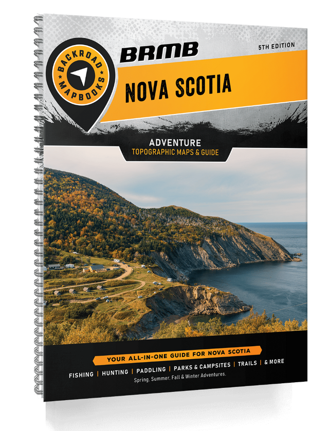
Master the Rugged Coasts and Wild Heart of Nova Scotia
In Nova Scotia, survival means understanding the landscape — where ocean meets land, and trails vanish into dense forest.
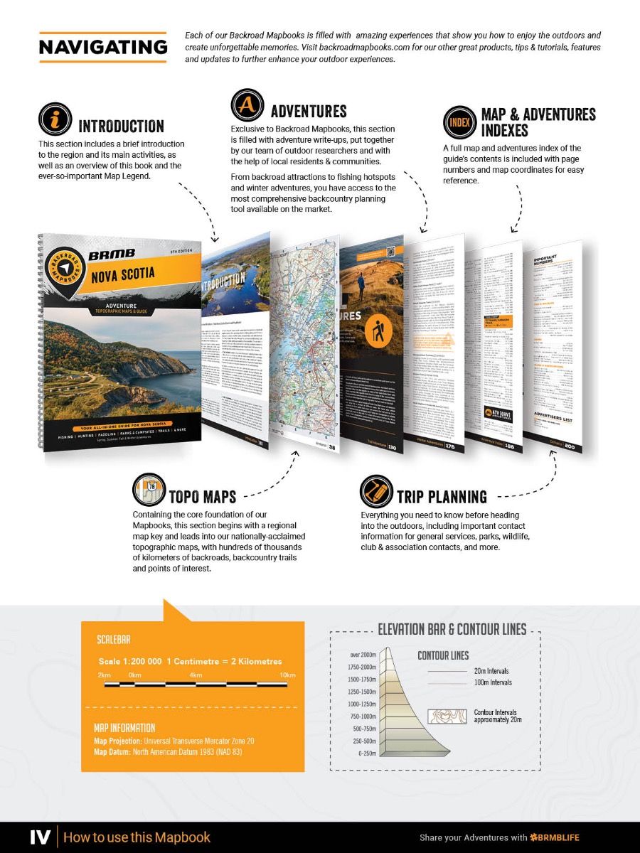
The Nova Scotia Backroad Mapbook – 5th Edition is your essential tactical companion, combining the most comprehensive and updated wilderness, coastal, and Crownland mapping into one survival-ready guide.
With almost 100,000 km of roads, updated Crownland and Nature Reserves, expanded multi-use trails, new paddling routes, and refined Points of Interest, this heavy-duty spiral-bound guide equips you for everything from sea kayaking the Atlantic coast to snowshoeing remote winter trails through Acadian forests.
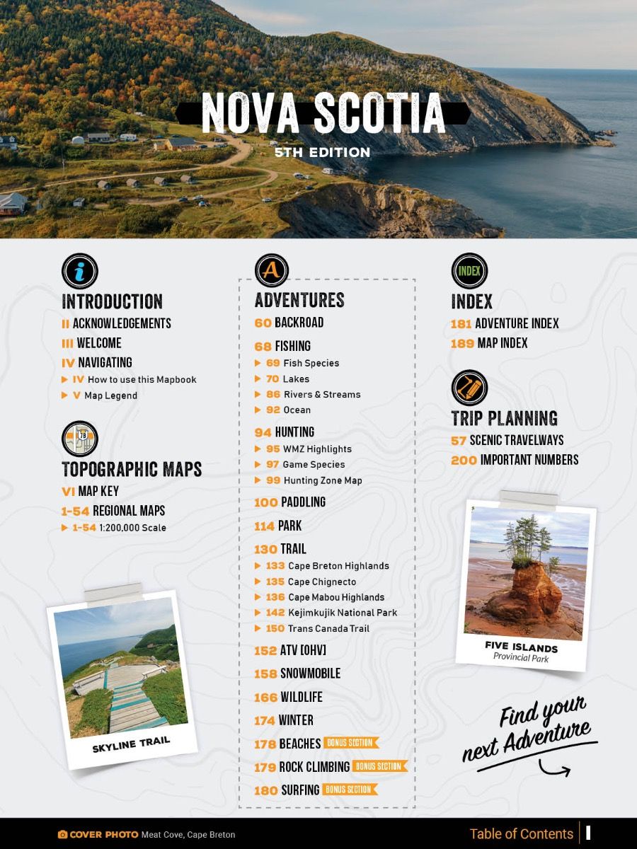
This new edition, expanded by over 60%, includes 54 topographic maps at 1:200,000 scale, stocked lake fishing charts with added species, multi-use trail charts, updated road systems, and new bonus adventures featuring beaches, surfing, and rock climbing.
Whether you're prepping, exploring, fishing, or bugging out — this Mapbook puts Nova Scotia’s wild beauty at your command.
Key Features for Survival and Adventure:
- 54 detailed topographic maps at 1:200,000 scale
- Almost 100,000 km of roads, including logging and industrial coverage
- Expanded Crownland, wilderness, and nature reserve mapping
- New stocked fishing lakes and species charts
- Updated multi-use trail, paddling, snowmobile, and ATV routes
- New adventure options: beaches, rock climbing, surfing
- Wildlife viewing hotspots, winter recreation areas, backcountry huts
- Heavy-duty spiral binding for rugged field conditions
- Complete Adventure Index, Map Index, and Service Provider Directory
| Specification | Details |
|---|---|
| Edition | 5th Edition |
| Format | 21.5 x 28 cm (8.5 x 11") Spiral-Bound Print |
| Page Count | 200 Pages |
| Maps Included | 54 Topographic Maps @ 1:200,000 Scale |
| Road Coverage | Almost 100,000 km including industrial and logging roads |
| Adventure Sections | 10 Outdoor Adventure Sections + Bonus Adventures |
| Crown and Wilderness Land Mapping | Included |
| Additional Features | Trip Planning Tools, Adventure Index, Map Index |